Well, after relaxing all afternoon Tuesday May 25 and heading to bed early, I was up at 2:45 the following morning, pack shouldered and on the road just after 3am. As I hiked through the aspen valley we were camped in a couple saw-whets tooted me on my way, but soon I had climbed up out into the higher sagebrush hills. And kept climbing. The road was good to walk on, but rose quite steadily from around 7000ft where we had camped to around 8400ft where it leveled out. The climb kept my nice and warm, and most of my layers came off during the ascent despite the freezing temperatures. What made matters interesting is that at about 400ft shy of the hilltop I entered a cloud. Between the darkness and the fog my headlamp didn't shine far, but the road made navigation simple and the rain and snow falling around me wasn't much of a bother at first. After the road ended I had another 3km or so to go, and things became a little more difficult.
I knew I needed to cross the first drainage that Coleman Creek ran through, as following that downstream would lead to a series of impassable waterfalls. My intended course was to cross that drainage and the ridge on the far side, then follow the next drainage down to the creek, putting me downstream of the falls. It was hard to see in the fog, but the ridge I needed to climb looked steeper than I wanted to climb while that early, cold, and tired, so I decided to hike around to the edge of the ridge and work down from there. The plan was good, but somehow in foggy night I ended up coming around the hill then back over it the way I had come. I didn't realize this until I looked at my GPS and compass and saw I'd become spun around, and my 'south' was actually north! I normally have a great sense of direction, but for the next 20 minutes I felt completely confused navigation-wise and depended entirely on my instruments to take me to my transect. A very vulnerable feeling I've felt on few occasions before.
But it all worked out, and I made my way down the drainage to the Coleman Creek Valley. As I neared the transect dawn began to break, and I walked down out of the cloud that had shrouded me the past hour or so.
 |
| Descending from the cloud to Coleman Creek |
 |
| Coleman Creek |
A few minutes into my third point it began to rain, lightly at first and then harder. "Oh no" I thought, if this kept up steady then I would have to call off the survey, hike back in the rain, then come back to repeat the 20km round trip hike the day after next. Once I'd finished the count (the birds kept singing more or less for most of the period), I took what shelter I could in a small copse of aspens and hoped the rain would pass over. It was around this time that The Animals' "We Gotta Get Out of This Place" got stuck in my head. Funny timing on that one...
However, we'd discovered the day before that the weather up in Black Rock is pretty temperamental and constantly changing, so that looking at the conditions it's often hard to predict what the weather will be like 20 minutes later. As it turned out I did have a bit of luck with me, since after 15 minutes the rain died off and the sun attempted to fight its way through the clouds. It wasn't successful until near the end of the survey, but the air warmed substantially, and in addition to some lenient terrian and some cattle trails I was able to finish the transect with half an hour to spare. While much of the route was fairly quiet birdwise, some Orange-crowned Warblers spread throughout the valley were a treat, as was a silent Willow Flycatcher which are rather uncommon in the state.
By this time the sun was mostly out and I was pumped and relieved at having actually finished the transect within protocol, so I headed out tired but in good spirits. As I neared my the drainage to climb out I got to see the waterfalls upstream that had caused my detour on the way in.
 |
| Waterfalls in upper Coleman Creek |
Climbing up out of the valley I got a split second view of a large dark raptor pop up above a ridge of rock then back down again. After a bit of patience a sub-adult Golden Eagle came out from the side of ridge, cruising low over the sagebrush on the opposite valley wall and giving amazing views. A male Northern Harrier must have had a nest nearby, and flew in to intercept the larger raptor. It looked puny in comparison, with it's entire wingspan less than half of the Golden's.
Carrying on my way back I followed my tracks to a spot I'd waypointed on the hike in. In the dark I almost tripped over this Bighorn ram's skeleton, and I was thrilled to get a photo of it in the light.
 |
| Bighorn Sheep ram skeleton |
The rest of the hike was much easier in the daylight, and I got back to camp from the 20km ordeal sore but whole. From there we made a trek with the rest of the crew out of the wilderness to re-fuel the trucks, on the way back from which we had another Golden Eagle up on a hydro pole as well as both an adult and juvenile light Ferruginous Hawk hunting off of the highway.
For our last day of surveying in the area Kayla, Sue, and Selina were splitting the birding and vegging on a small creek transect through some lower sagebrush hills. The view was pretty spectacular when we got to camp that evening.

Thursday morning I got to bird the lower half of the transect since I was needing a break from the day before. Down in the flats were loads of Western Meadowlarks and a few Lark Sparrows to keep things interesting, but not too much going on. Looked pretty nice though.

Sue, who surveyed the top end of the transect which wound up into the mountains, got rewarded for her climb with an agitated Long-eared Owl and a flyover California Red-shouldered Hawk. Kayla, who was vegging just a couple points behind me, had a stare-down with a cougar up on a sagebrush hillside 150m away. Everyone was super jealous of that, since not only did she get a good look at this elusive cat but it was in the open and a reasonable distance from her. An encounter in dense pinyon-juniper like in the Pine Nut range can be a little more nerve-wracking, since they can get a LOT closer before you actually see them.
On the drive out Sue spotted this Desert Horned Lizard on the road. The patterns on these guys are really variable, but this was one of the biggest and most smartly marked I'd seen.
On the drive out Sue spotted this Desert Horned Lizard on the road. The patterns on these guys are really variable, but this was one of the biggest and most smartly marked I'd seen.
 |
| Desert Horned Lizard |
That evening we camped at an abandoned mine entrance and relaxed for the first time after 4 days of pre-dawn till dusk work. Sitting around a campfire, surrounded by Lombardy Poplars were home to some neat birds, it was a great way to recharge before the 5 hour drive back the next day.
 |
| Pearl Camp |
 |
| Mine shaft heading into the hill |
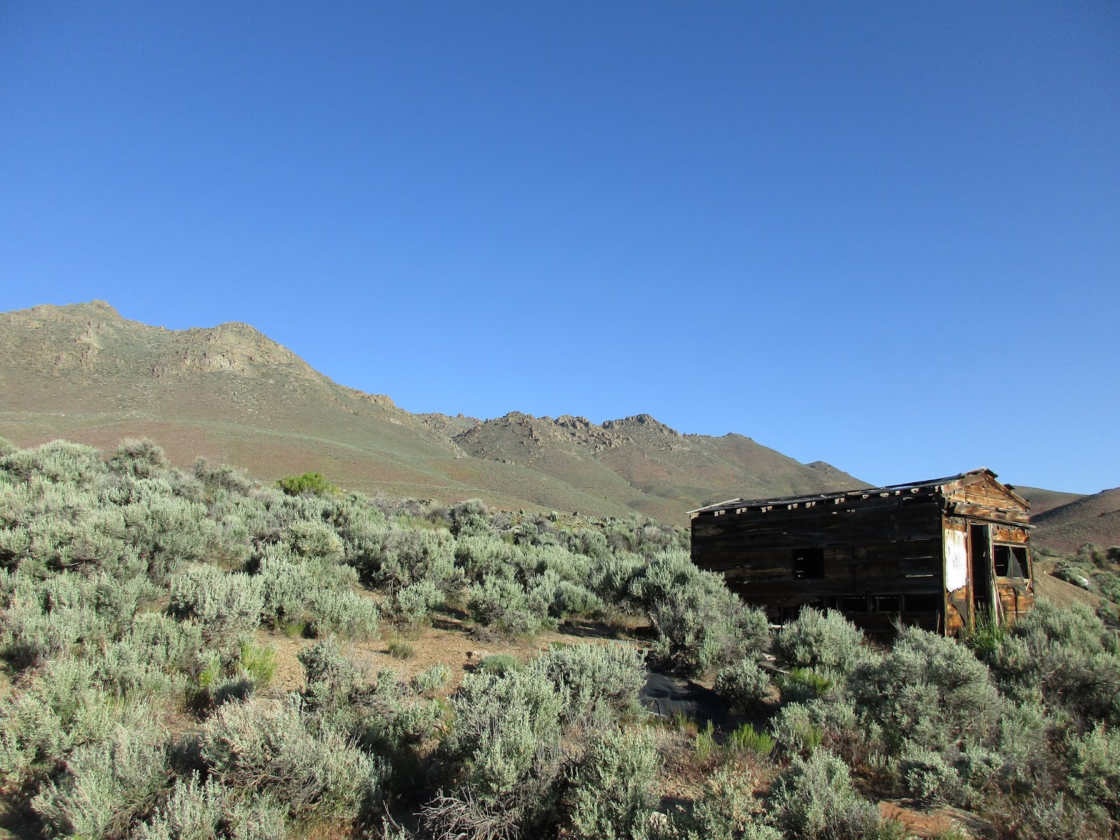 |
| Old building and Black Rock hillside |
The Black Rock/High Rock had definitely worked us hard, but we had some amazing views and some awesome sightings to show for it.
No comments:
Post a Comment